
The National Weather Service Has Issued Tornado Watch In Effect Until…

Smokey Barn News
Monday October 13, 2014
Robertson County, Middle Tenn.
Weather Alerts – Tornado Watch, Flood Watch & Wind Advisory
Probably time to tie it down or bring it in, we have some weather heading our way..
Please see weather adversaries below.
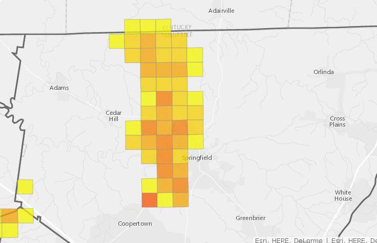
UPDATE 8:21PM: A large part of the county is without power. Crews are working to restore power but due to heavy rain and wind it may take time.
UPDATE 10:41PM: The power outage has been caused by a damaged three phase line coming from a substation. The damage was caused by a down tree. Crews are working as fast as they can to repair the lines. No estimate was available on repair time.
UPDATE 11:31PM: Power restored.
Tornado Watch
The National Weather Service Has Issued Tornado Watch In Effect Until Midnight CDT Tonight For 38 Counties in Middle Tennessee including Cheatham, Davidson Montgomery, Robertson & Sumner.
Flash Flood Watch
Flash Flood Watch Remains In Effect From 7:ooPM CDT This Evening Through Tuesday Afternoon for all of Middle Tennessee.
 Recent Rainfall Has Saturated The Ground In Many Locations. A Band Of Heavy Showers And Thunderstorms Is Expected To Move Across The Mid State Tonight Through Tuesday Morning With 1 To 3 Inches Of New Rainfall. This Heavy Rainfall In A Short Time Will Likely Cause Flash Flooding. Flooding Of Streets… Low Water Crossings… And Poor Drainage Areas Is Likely. Flooding May Also Occur Along Creeks And Streams. This Could Also Lead To Significant Rises On Main Stem Rivers Across The Area.
Precautionary/preparedness Actions…
A Flash Flood Watch Means That Conditions May Develop That Lead To Flash Flooding. Flash Flooding Is A Very Dangerous Situation. You Should Monitor Later Forecasts And Be Prepared To Take Action Should Flash Flood Warnings Be Issued.
More Rain Is On The Way As A Powerful Storm System Is Expected To Bring A Band Of Heavy Showers And Thunderstorms Into Mid Tennessee Tonight Through Tuesday Morning. Rainfall Amounts Of 1 To 3 Inches Are Expected… And Some Locally Heavy Amounts Cannot Be Ruled Out. This Heavy Rainfall In A Relatively Short Period Will Likely Cause Some Flash Flooding. This Situation Is Of Particular Concern Because Water Levels May Rise Rapidly… And Much Of The Rain Will Fall At Night When It Is Difficult To Judge The Depth Of Water. The Heavy Rain Is Expected To Taper Off By Tuesday Afternoon.
Wind Advisory
Wind Advisory Remains In Effect Until 7:ooAM CDT Tuesday…
Sustained Winds Of 15 To 25 Mph With Gusts Over 35 Mph. Impacts… Loose Objects Will Be Blown Around. This Includes Outdoor Furniture And Garbage Cans. Tree Limbs May Be Blown Down… And There Could Be Scattered Power Outages.
 Precautionary/preparedness Actions…
A Wind Advisory Means That Winds Of 25 To 39 Mph And/or Gusts Of 35 To 57 Mph Are Expected. Winds This Strong Can Make Driving Difficult… Especially For High Profile Vehicles. Use Extra Caution.
Wind Advisory Through Tonight For All Of Middle Tennessee…A Strong Low Pressure System Will Advance Across The Mid Mississippi Valley Region Tonight. This Strong Low Will Generate A Large Area Of Gusty Winds. The Winds Will Be Enhanced Tonight As A Cold Front Sweeps Into The Mid State. Sustained Winds Are Expected To Climb Into The 15 To 25 Mph Range… With Gusts Over 35 Mph. These Speeds Do Not Include The Stronger Damaging Winds Which May Be Produced By Severe Thunderstorms.
Smokey Barn News (Sponsor/Advertisement)
We bring you ALL the News in Robertson County, Tennessee.
![]()