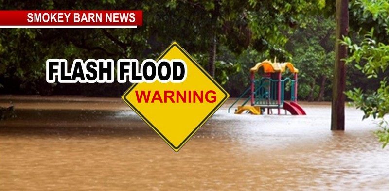
Flash Flood Warning & Potential Tornadoes As Severe Storms Move In Through Monday AM
UPDATE 6:51 pm: Emergency alert:
National weather service: A Flash flood warning is in effect for this area until 10 PM. This is a dangerous and life-threatening situation. Do not attempt to travel unless you are fleeing an area subject to flooding or under and evacuation order.
ROBERTSON COUNTY TENNESSEE: (Smokey Barn News) – The National Weather Service in Nashville has issued a Flash Flood Warning for… Houston County in middle Tennessee… Northwestern Humphreys County in middle Tennessee… Montgomery County in middle Tennessee… Northwestern Robertson County in middle Tennessee… Stewart County in middle Tennessee…
Until 1000 PM CST.
At 555 PM CST, Doppler radar indicated thunderstorms producing heavy rain across the warned area. Between 1 and 2.5 inches of rain have fallen. Flash flooding is ongoing or expected to begin shortly.
HAZARD…Flash flooding caused by thunderstorms.
SOURCE…Doppler radar.
IMPACT…Flooding of small creeks and streams, urban areas, highways, streets and underpasses as well as other drainage and low lying areas.
Some locations that will experience flash flooding include… Clarksville, Camden, Dover, Erin, Tennessee Ridge, Big Rock, Adams, Cumberland City, Indian Mound, Woodlawn, Palmyra, Cunningham, Land Between The Lakes and Houston County Airport.
PRECAUTIONARY/PREPAREDNESS ACTIONS…
Turn around, don’t drown when encountering flooded roads. Most flood deaths occur in vehicles.
A Flash Flood Warning means that flooding is imminent or occurring. If you are in the warned area move to higher ground immediately. Residents living along streams and creeks should take immediate precautions to protect life and property.

Have your safety plan in place
Is your NOAA Weather Radio programmed and powered on? Having multiple sources for warning information is encouraged! Between social media, weather.gov/Nashville, and local news sources stay up to date with weather information throughout the evening.


Mobile: To See The Latest Stories or to share this article, scroll below