


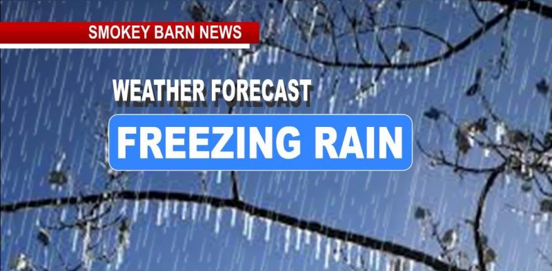
Winter Storm Watch: Freezing Rain/Ice Potential Wed. Night Into Thurs. AM
ROBERTSON COUNTY TENNESSEE: (Smokey Barn News) –According to the National Weather Service Nashville TN, portions of NW Middle TN are under a Winter Storm Watch with the potential for ice accumulations. Freezing rain is expected along and north of I-40 and along and west of I-65. Everywhere else outside of these areas will be too warm for there to be any freezing rain.
Freezing Rain and Light Ice Accumulations Possible Wednesday Night into the Day Thursday for the following counties/cities:
Robertson-Sumner-Macon-Humphreys-Dickson-Cheatham-Davidson- Including the cities of Springfield, Hendersonville, Gallatin, Goodlettsville, Lafayette, Waverly, New Johnsonville, McEwen, Dickson, Ashland City, Kingston Springs, and Nashville
The potential for freezing rain and some ice accumulation is
possible for areas mainly north of I-40 starting late Wednesday
evening through the daytime Thursday. Ice accumulations are possible, mainly on grassy and cold surfaces, with
the best chance for ice accumulation after midnight through noon
Thursday. Temperatures will be right around to just below freezing
during that time, with most road temperatures likely staying just
above freezing, however, slick spots on elevated surfaces may occur.

What does this mean for you?
– Any impacts from this (power outages, tree damage, hazardous travel conditions) are most likely in the Winter Weather Watch which includes parts of northwestern Middle TN.
– Those south of I-40 and east of I-65 will likely only see a cold (non-ice) rain from this.
– Things could change over the next 24-36 hours (hello uncertainty).
*We are confident that ice accumulations will occur in the northwest, it is a question of how much at this point.
Stay tuned for forecast updates on this evolving weather system.


Mobile: To See The Latest Stories or to share this article, scroll below


